
Startup launches engine solving key satellite data bottleneck
Ellipsis Drive launches Ellipsis Map Engine a software that cuts spatial data processing time.
Published on May 27, 2026
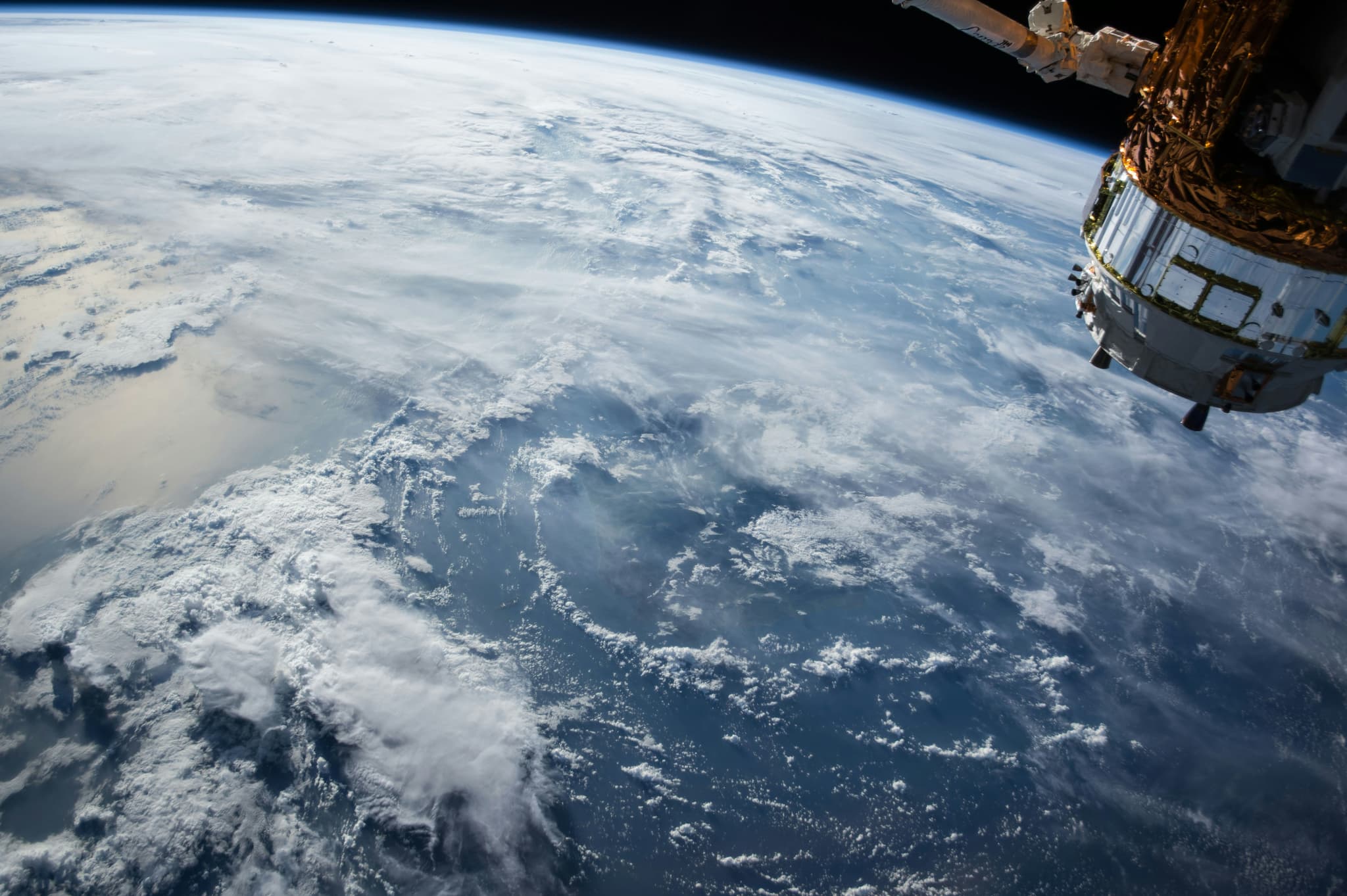
© NASA - Unsplash

Team IO+ selects and features the most important news stories on innovation and technology, carefully curated by our editors.
An Amsterdam-based startup is tackling a key bottleneck in Earth observation: the sheer effort needed to turn satellite imagery into usable insight. Ellipsis Drive's newly launched Ellipsis Map Engine could fundamentally change the economics of working with satellite data.
From monitoring floods to tracking deforestation, Earth observation satellites are generating more data than ever. However, processing data is extremely challenging. According to Rosalie van der Maas, co-founder and director of the startup, roughly 80% of the time in Earth observation projects is currently lost to data processing alone.
The problem it solves
Satellite imagery is what engineers call "raster data": grids of pixels, each encoding information about a precise location on Earth, whether that is altitude, temperature, vegetation cover, or flood extent. Unlike tabular data, raster data is array-like and cannot be managed in a conventional database without severe tradeoffs — summarising it sacrifices spatial integrity and destroys key geographic relationships. As a result, analysts have spent years building awkward manual workarounds just to get their data into a state where it can be analyzed at all.
Until now, working with this kind of data required converting it into a format that standard processing software could handle, running the analysis, and then converting it back into spatial form — a slow and labor-intensive cycle.
How the engine works
Ellipsis Map Engine operates "map natively": an image goes in, and an image comes out, with all the intermediate conversion steps handled automatically under the hood. The platform is built around what the company calls a Spatial MapReduce approach: when data is loaded into the system, each node in a computing cluster automatically hosts a geographic section of the dataset — a process known as spatial sharding. When a Python command is executed, each node only processes the geographic section it holds, making the analysis both fast and spatially coherent.
The practical effect is significant. Consider a task like identifying every patch of tree canopy providing shade across the Netherlands. The volume of imagery is too large for a single computer, yet splitting images across machines creates a boundary problem: contextual information at the edges of each tile is lost. Ellipsis Map Engine solves this by ensuring that each computing node has sufficient overlap with its neighbors, so that no spatial context is lost. The whole process is automatic, requiring only that the user knows Python.
The engine can also complement existing platforms such as Databricks, Snowflake, and BigQuery, adding raster processing capabilities to data architectures that were previously limited to tabular data.
Why it matters
The implications stretch well beyond technical convenience. Target users include insurance companies running natural catastrophe risk models, civil engineers monitoring environmental hazards, and Earth observation firms building data services for governments and utilities. For all of these sectors, faster and cheaper spatial analysis translates directly into better decisions — and, in the case of disaster response, potentially into lives saved.
During the beta phase, the European Space Agency used the engine to accelerate the delivery of Earth observation data to emergency services in response to natural disasters. Other early testers included HERE Technologies, Rabobank, and engineering consultancy NEO.
Backed by ESA
The engine was developed with support from the Netherlands Space Agency under ESA's InCubed program, which backs commercially promising products built on Earth observation data. The funding allowed the fifteen-person company, ten of whom are based in the Netherlands, to develop far faster than it otherwise could have.
Van der Maas is clear about where Ellipsis Drive sits in the broader landscape: not as a space company, but as infrastructure for those who are. The Map Engine is now publicly available to anyone who wishes to experiment with it — a modest launch for a tool with genuinely outsized potential.